

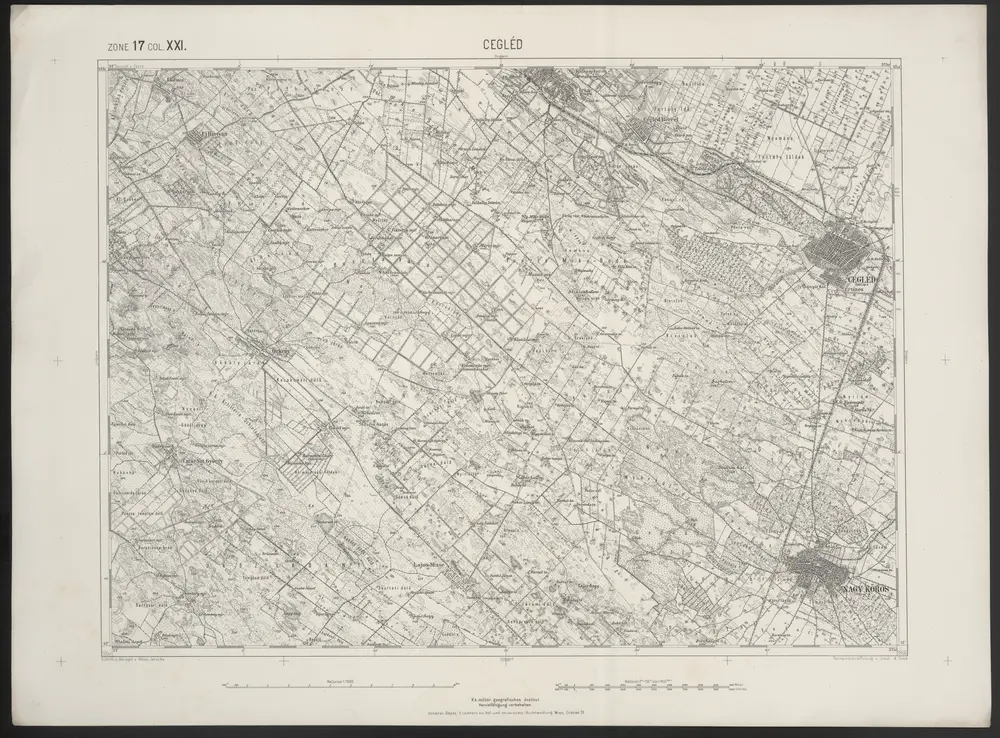
Cegléd
1886
Sied
1:75k
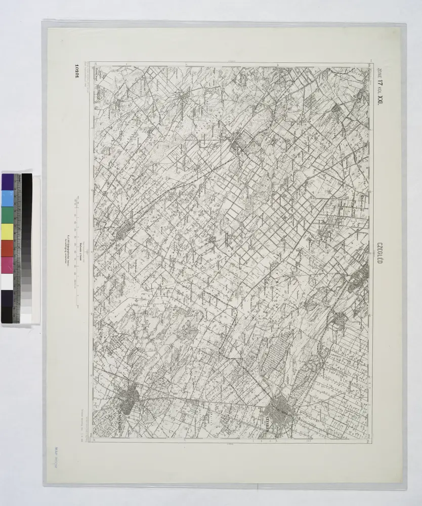
Czegled.
1914
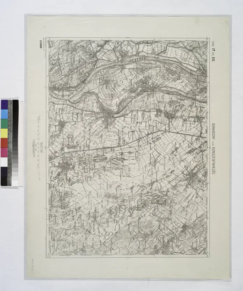
Dunaadony und Kunszentmiklos.
1914
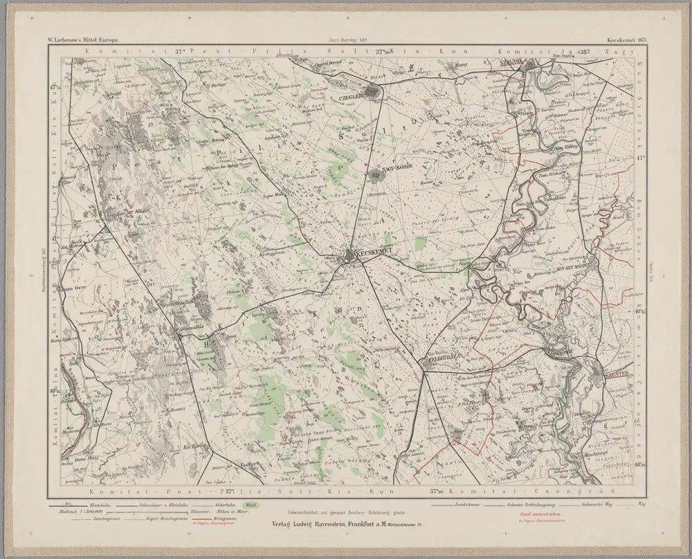
Kecskemét 163, uit: Special-Karte von Mittel-Europa / nach amtlichen Quellen bearbeitet von W. Liebenow
1899
Johannes Wilhelm Liebenow 1822-1897
1:300k
Mappa Comitatus Pesthiensis Methodo Astronomico-Geometrica, concinnata.
1750
Mikoviny, Sámuel

Mappa Comitatus Pesthiensis Methodo Astronomico-Geometrica, concinnata.
1750
Mikoviny, Sámuel
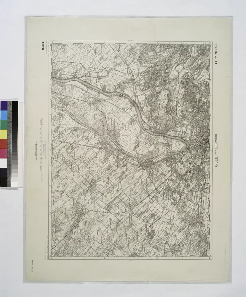
Budapest und Teteny.
1914
Mappa Comitatus Solthensis
1737
Mikoviny, Sámuel
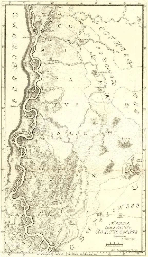
Mappa Comitatus Solthensis
1737
Mikoviny, Sámuel
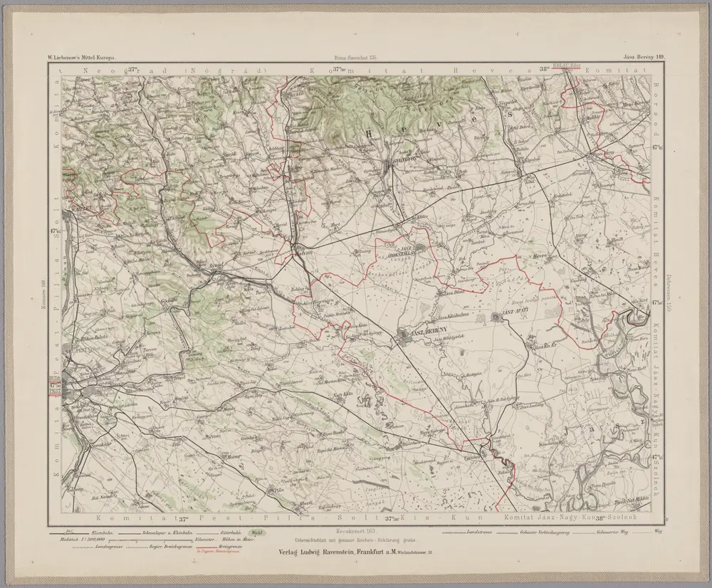
Jász-Berény 149, uit: Special-Karte von Mittel-Europa / nach amtlichen Quellen bearbeitet von W. Liebenow
1899
Johannes Wilhelm Liebenow 1822-1897
1:300k

